Living in Juigalpa
Climate, distances, population and housing in Juigalpa, from public data. Looking for a home here? Tell us what you need and we will send options from owners and agents.
- Population
- 61,571INIDE 2023
- Elevation
- 105 m
- Mean temperature
- 28 °CNovember: 26 °C
- Rainy season
- May to November
- To Managua
- 2 h 45 min139 km
- To MGA airport
- 2 h 40 min
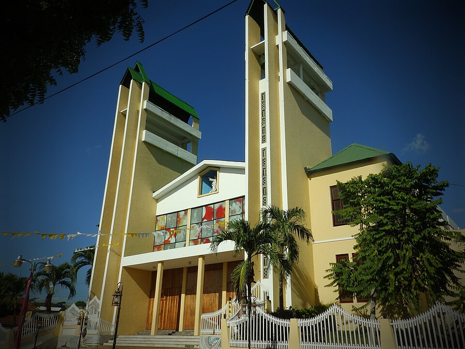

Homes in Juigalpa
-
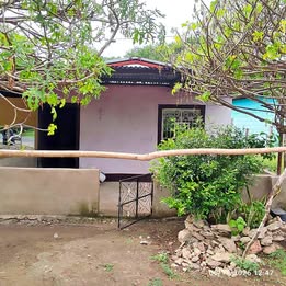 House
C$3,000 /month ≈ US$82House for rentJuigalpa, Chontales
Marketplace · Nov 13View →
-
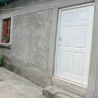 Room
US$90 /monthRoom for rentJuigalpa, Chontales
Marketplace · Nov 13View →
-
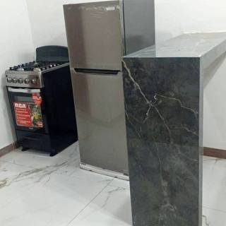 Apartment
US$100 /monthApartment for rentJuigalpa, Chontales
Marketplace · Nov 13View →
-
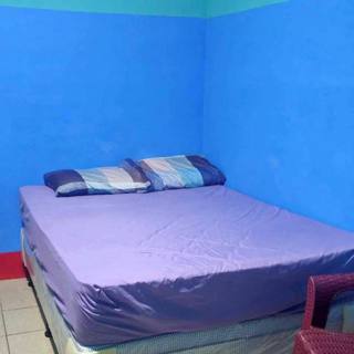 Apartment
US$115 /monthApartment for rentJuigalpa, Chontales
Marketplace · Nov 13View →
-
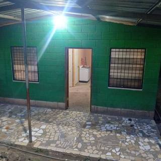 House
US$150 /monthHouse for rentJuigalpa, Chontales
Marketplace · Nov 13View →
-
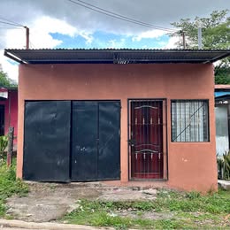 House
US$150 /monthHouse for rentJuigalpa, Chontales
Marketplace · Nov 13View →
Listings posted on Facebook (Marketplace and public groups). We show the type, price and town; details, photos and contact are in the original post. Facebook labels many prices in córdobas even when they are in dollars, so the currency was inferred from each listing. Never pay or send a deposit before viewing the property. Is this your listing and want it removed? Write to us.
Climate
In Juigalpa the rainy season runs from May to November, with a drier spell in July (the canícula). The wettest month is October (≈303 mm) and the driest is January. The mean annual temperature is about 28 °C: April is the warmest month (30 °C on average) and November the coolest (26 °C).
The town sits at about 105 m above sea level.
Show the monthly data
| Month | Rain (mm) | Mean temp (°C) | Humidity (%) |
|---|---|---|---|
| January | 1 | 26.4 | 70 |
| February | 2 | 27.6 | 64 |
| March | 4 | 28.9 | 58 |
| April | 24 | 30.1 | 57 |
| May | 187 | 29.1 | 69 |
| June | 187 | 27.5 | 80 |
| July | 117 | 27.3 | 80 |
| August | 170 | 27.6 | 79 |
| September | 277 | 27.2 | 82 |
| October | 303 | 26.6 | 84 |
| November | 106 | 26 | 83 |
| December | 8 | 26 | 78 |
Getting there and around
Juigalpa is 139 km from Managua by road, about 2 h 45 min by car at the 50 km/h limit police have enforced since 2025, and 2 h 40 min from Managua International Airport (MGA).
Juigalpa is on the central and northern highlands.
Before you move
Near Juigalpa
Sources: INIDE 2023 population estimate (via citypopulation.de); NASA POWER monthly climatology 2001–2025; Distances: OSRM on OpenStreetMap data (© OpenStreetMap contributors, ODbL); times at the 50 km/h limit; GeoNames (CC BY 4.0).